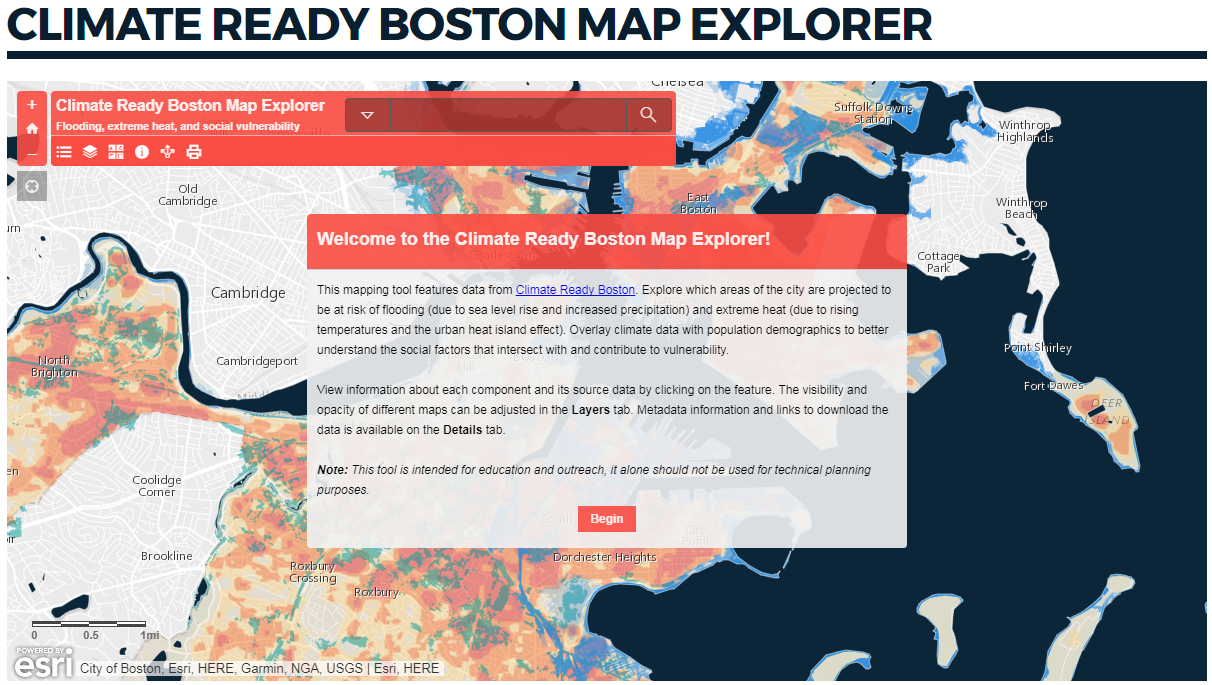
The Map Explorer features spatial data from Climate Ready Boston. Explore which areas in Boston are projected to be at risk of flooding (due to sea level rise and increased precipitation) and extreme heat (due to rising temperatures and the urban heat island effect). Overlay climate data with population demographics to better understand the social factors that intersect with and contribute to vulnerability.
Note: This tool is intended for educational and outreach purposes. It should not be used for technical planning. The individual datasets linked from this showcase give a higher degree of granularity than what is shown in the explorer tool, which uses a simplified view of the data to enable faster loading and navigation.